THE
 |
| View from Site 1 |
 |
| Gang of thugs (note resident bird on central deer) |
 |
| Exterior (Signage Ignored) |
 |
| There's a snowstorm in there that I wouldn't fuck with for the world. |
Anyway, on the long descent, I also found and packed out some notable rocks, even though I'm not a big geology guy.
As a side note I always find it interesting how many amateur and/or professional geologists I encounter while hiking. The sheer number of these like-minded scientists is somewhat alarming and I often wonder if the general public is at any sort of risk from any well-organized geological cells that may or may not operate interdependently of each other in our national parks and recreation areas. I've interrogated quite a few of these so called "graduate students" but have learned nothing except that they all seem to have been brainwashed thoroughly. Try maintaining a constant theme of questioning with someone that keeps on wandering off to excitably identify granitic schist or something and see how far you get.
 |
| Bear Lake Site |
Afterwards, I found an old, red Mad River canoe on the marshy shore of the lake and took her for a joyride. Anyway, Bear Lake is tiny and my float was short-lived. I beached the canoe, stored it properly and left. As a PSA to whichever dingus left the canoe belly down (floating) in the water, it had filled up with rainwater and half of it was sunk into the lake. Flip it upside down next time you leave, you dingus.
Now, before I had reached the Lake, I had considered the possibility of, once arriving at the site, attempting to bushwhack the 2 miles north back to the river and either cross it to get on the fireroad on the far bank or to float down the river back to my truck. I had laughed at the thought of trying to wade/swim across the Salmon River, and decided that a discarded packraft or inner tube would be necessary to even attempt a crossing or float. I figured the odds of finding such a device would be higher at a backcountry lake than, say at a backcountry trailhead, but still wasn't thinking that I'd stumble across any watercraft at Bear Lake.
It wasn't the first time I've thought of using a river as a transportation device during a hiking trip, and I can promise you it also won't be the last. I've attempted a pack n' float before, but the Greenbriar River didn't want to co-operate and I was left with deflated hopes, dreams and inner tubes.
What I'm trying to say is that I considered stealing the canoe, since it was weathered and had obviously been misused during it's tenure at Bear Lake, but ultimately my conscience won out. My decision had nothing to do with the fact that bushwhacking with a 15 foot boat on one's back falls far short of being "fun", nor did it have anything to do with Idaho's harsh canoe-larceny laws.
 | |
| Up Top |
Had a fire and woke up to rain again, but got going in spite of it. The long climb up to the junction I had taken the day before was definitely tough, my pack was overloaded and some of the more important support straps had ripped a few trips ago. I also haven't been able to hike any appreciable distance for some time, due to snow, and my legs were definitely paying the consequences of such a long hibernation.
Anyway the way up was cold as hell, and the rain that was pouring down soon turned to slush that soon turned to snow. Got up top, found myself in a cloud and started kindly hammering up and then down the trail to keep my body temperature up.
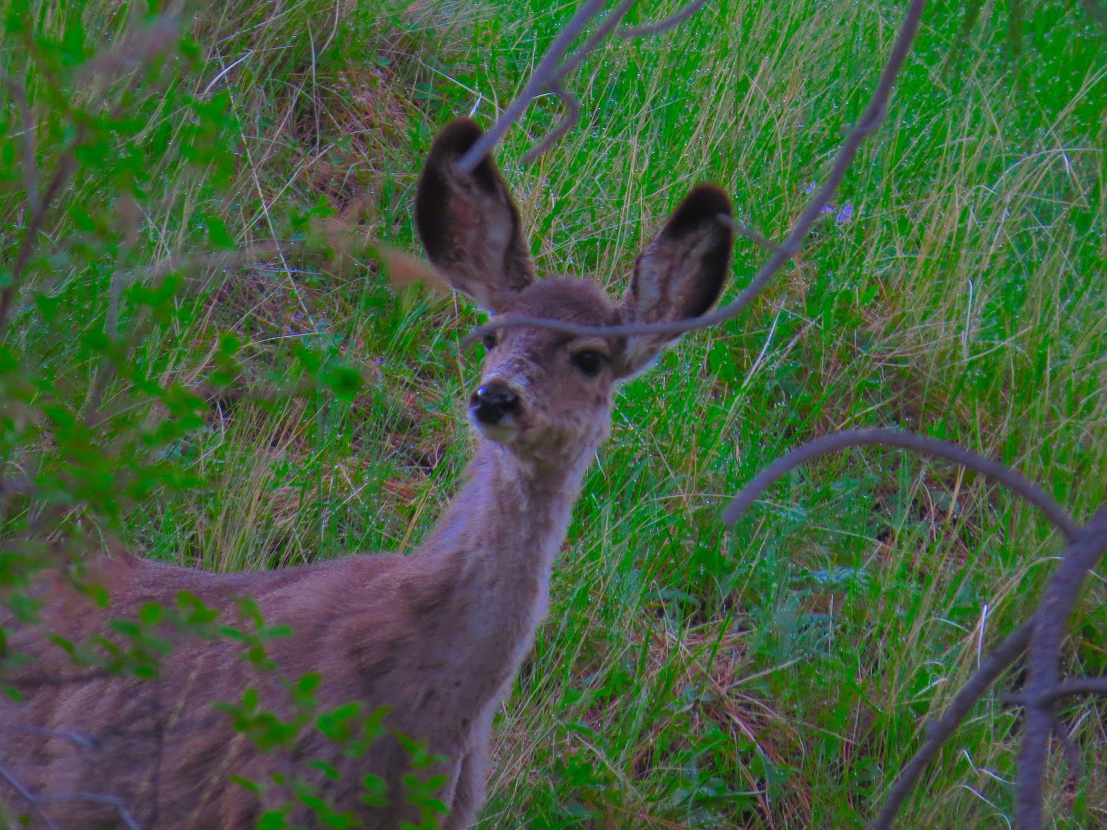
Finally got down to snowline again and the sun popped out for a while, took a game trail shortcut down past my first campsite to a more exposed precipice where I set up camp for the night just as stormclouds rolled in. Turns out they looked meaner than they were and I woke up the next morning drier than I had on any of the others. Packed up, ran into my deer family one more time and left town with really sore legs for the first time in months.
 |
| Site # 3 |
Mainly I've gotten sick of snow and anything other than snow looks amazing to me, but also my pack, while still way above summerweight, was way below winterweight. The deer were cool, the views spectacular, but most importantly.....
MILEAGE happened. Hasn't gone this smoothly for a long time, and it was nice to make some distance disappear, even if it wasn't too much (about 25 round trip).
Video is comin and pictures will be on the flickr soon.
PS one of the major hassles about this trip was the difficulty I had in getting a map of the wilderness area. Had to end up buying an Idaho Atlas and photocopying the pages. Still wasn't useful, as my I had trouble finding where I was, which means I gave up after a while because I knew I could back to my truck one way or another ("Go to the river and take a left, how hard can it be?"). I imagine someone out there has a better map of the Frank Church wilderness, and I'll do my best to track it down and post it here soon.
Stay warm, stay dry.
 |
| I got hungry and the latch was stuck. |
 |
| Rainbow |
 | |
| Clouds rollin in |
 |
| Loud |


No comments:
Post a Comment